Hadi Keykavosi, Iranian writer and journalist, first became aware of the construction and expansion of “missile cities” across Iran through accounts he heard while working at a local newspaper in Bandar Abbas in the early 2000s. During the recent US-Israeli war against the Islamic Republic, the scale and extent of these missile cities within Iran became clearer, prompting him to return to a subject surrounded by doubts and unanswered questions. In this article, Keykavosi examines some of the damage caused by the Islamic Republic’s military policy from an environmental perspective. Efforts to investigate and discuss this damage face severe restrictions and repression by the security authorities in Iran, while abroad, including in Western countries, it has not received the media attention it deserves.
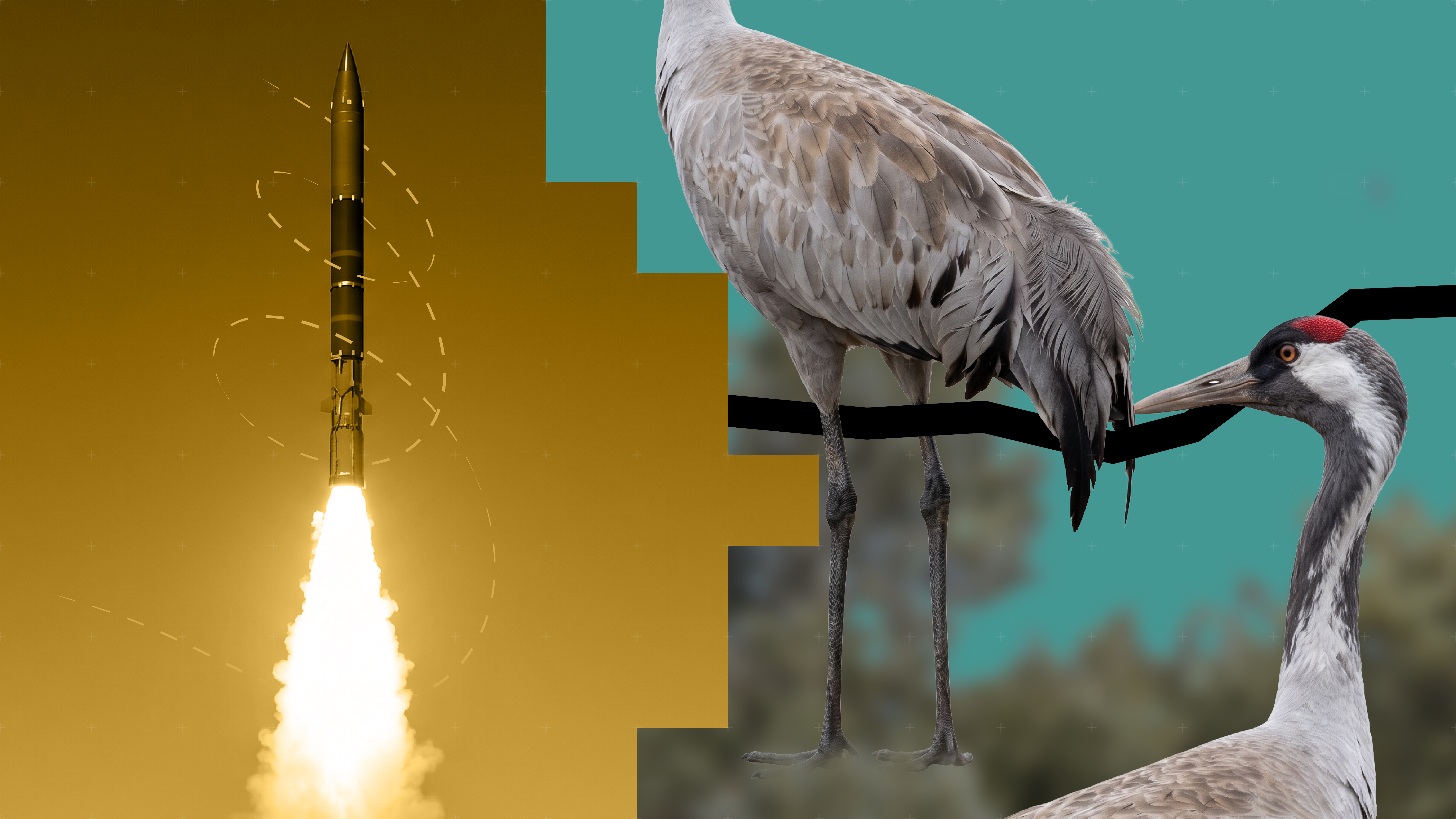
In October–November 2008, as an expert from the Department of Environment in Hormozgan framed a common crane in the camera’s viewfinder, he probably never imagined that this would be the last time this migratory bird species was documented there. Seven photographs uploaded to the eBird website raise a fundamental question: what has changed in the common crane’s habitat to make this migratory bird abandon the area?
Drought, climate change and natural changes to habitats can all play a role in changing the patterns of migratory birds’ presence in Iran. But another factor has remained out of sight over these years: the construction and expansion of missile cities, particularly in the country’s southern, central and western regions.
The term “missile city” entered public discourse in the mid-2000s to describe the Islamic Republic’s network of underground missile facilities.
In June–July 2011, the Islamic Revolutionary Guard Corps (IRGC) unveiled underground ballistic missile launch silos during the “Great Prophet 6” military exercise. Four years later, in September–October 2015, images of the first “missile city” appeared in Iranian media.
In an interview at the time, Amir Ali Hajizadeh, then commander of the IRGC Aerospace Force, stated: “Missile bases are located 500 metres beneath high mountains, in every province and city in the country.”
Five years later, Hajizadeh acknowledged that the missile cities project had begun in 1984–85 and that tunnel excavation had continued around the clock ever since.
The Changing Landscape of Southern Iran
The Persian Gulf coast was the first area officially identified as hosting missile cities by Hossein Salami, then commander-in-chief of the IRGC. These facilities are found inland in Hormozgan Province.
Documented evidence shows that, since the 2010s, excavation and the construction of underground military facilities in this part of Hormozgan have gradually changed the landscape of the province’s mountainous areas. One example is the Hajiabad ballistic missile base in the north of the province, near the Tarom Protected Area, a habitat covering more than 80,000 hectares that is listed among the country’s protected areas.
In March 2026, the Ukrainian publication Militarnyi revealed another base, named “Eagle 44”, near this protected area. Construction of the underground airbase began in the 2010s. According to the report, it was designed to house fighter jets and bombers inside the mountain.
Excavation of this kind may cause damage severe enough to divert or block groundwater flows over time, increasing pressure on the habitat. The expansion of these bases also requires new roads and increased traffic in the area. These changes can themselves have damaging effects on natural habitats, including declines in animal populations and the movement of various species away from the area.
Wildlife Habitats Under Military Pressure
The military facilities and the Tarom wildlife habitat overlap and lie so close to one another that, during the recent war, the Seyyed Jowzar ranger station in the Tarom area was damaged by bombing, resulting in casualties.
In an August 2026 report, Forbes magazine, citing a former official at Iran’s Department of Environment, wrote that the IRGC had deployed missile and air defence equipment in a number of protected areas since Mahmoud Ahmadinejad’s first presidential term.
The report also referred to the construction of roads and military bases in protected areas and the prohibition of environmental monitoring there. The former official’s remarks specifically referred to the Almobolagh Protected Area in the highlands around the village of Asadabad in Hamadan.
Common cranes and other migratory birds may therefore be able to shift their migration routes away from such danger. But not all animal species can escape these ecosystems.
A similar situation can be seen a little further away in the Homag Protected Area, another important wildlife habitat in Hormozgan Province. Like Tarom, it lies near a missile base and has been listed among the country’s protected areas since 2010–11. Mount Khorgu and Mount Homag both lie along the southern Zagros range. In March 2021, the US network Fox News first reported details of the facilities in this area.
Four openings on the slopes of Mount Khorgu were among the first signs of underground missile facilities in the area, as reported by Fox News using Maxar satellite imagery and analysis by a military expert from the Intel Lab group. Construction of the base’s facilities began in 2018. According to satellite imagery from AllSource Analysis, this missile base, like the Hajiabad missile city, has involved heavy construction in the area.
Among the species found in the Homag area, the leopard is particularly dependent on a large territory and connected habitats. One of the most recent reports of a leopard in the area dates to the summer of 2025, when a leopard cub became trapped in an empty pool in an orchard in the village of Zakin, south of Homag, and was saved by being provided with water.
The expansion of military infrastructure at Khorgu raises the possibility that these facilities, alongside other environmental pressures, have turned the local leopard’s habitat into an isolated island by severing its movement corridors and disrupting its food chain.
Protected Islands as Military Bases
Wildlife monitoring in this region has, of course, always faced security restrictions. In January–February 2018, more than two years after the first official images of a missile city were released, a number of environmental activists were arrested on “espionage” charges. Tehran’s prosecutor at the time alleged that cameras installed for environmental monitoring were a cover for monitoring the country’s missile activities and that the images and information recorded had been sent to “foreigners”.
This allegation, together with the announcement of the “suicide” of Kavous Seyed-Emami, one of those imprisoned in the case, added further complexity to the repression of environmental experts and the criminalization of any activism in this field.
Meanwhile, on the islands of Hormozgan Province, the area first officially identified as hosting missile cities, restrictions on access and rangers’ reduced ability to monitor wildlife have become more acute. These include Greater and Lesser Farur, which have been designated as protected areas since 1987–88 and had a notable history among the islands before becoming sites for military deployments.
Farur Island, known as an unspoilt habitat for seabirds and valuable wildlife species in Hormozgan, was used in the early 1980s as a place of exile for drug addicts. A few years later, it was repurposed as a key deployment and training site for the IRGC Navy’s special forces unit.
Today, the strategic significance of this change of use is reflected in statements by Gholam-Hossein Mohseni-Ejei, head of the Islamic Republic’s judiciary. Describing Farur Island as a military nest, he claims that the IRGC’s “wasp fleet”, relying on speedboats and uncrewed surface vessels stationed in the island’s sea caves, is ready to confront “aggressor” US warships.
The Militarisation of Qeshm’s Natural Landscape
This military use of the islands’ natural features is not limited to Farur’s sea caves. On Qeshm, too, the rocky mountain terrain provides natural cover for concealing and housing military facilities. These mountains now also form part of the island’s military landscape.
In February–March 2026, Al Jazeera’s news website described Qeshm as an island containing a network of tunnels and “underground missile cities”. These facilities are used to conceal coastal missiles and speedboats and to control the Strait of Hormuz. Describing Qeshm as an “unsinkable aircraft carrier”, the report also detailed its gradual transformation from a tourist destination and free-trade zone into a “military fortress”.
Qeshm Global Geopark, which has covered the entire island since 2017, now faces considerable pressure on its environment and wildlife alongside the extensive network of tunnels, silos and military activities. This pressure may contribute to the decline or gradual disappearance of some species. Signs of this damaging pressure can be seen in the condition of the island’s cliff-dwelling birds. One of these is the sooty falcon, last observed on Qeshm in 2002.
Qeshm Island and the city of Tabas are the only places in Iran where sooty falcon breeding has been recorded. Despite the lack of adequate access to and monitoring of these areas, it appears that the cliff faces that once provided nesting and breeding sites for the sooty falcon have now become nests for drones. This change can be considered one of the possible factors behind the sooty falcon’s decline or disappearance.
The proximity of this cliff-dwelling bird’s habitat to expanding excavations, underground facilities and noise pollution has placed it at the intersection of two conflicting realities: an island of exceptional natural beauty and a military fortress that has deprived this species’ natural habitat of its tranquillity. Without a change in the military doctrine governing these areas, this conflict could make the sudden disappearance of wildlife, such as the common crane, a recurring pattern near missile cities across the country.